What Is the Interactive Map?
We built our own scrollytelling bay map so you can preview the entire Ocean City watersports experience from your phone. It's a guided, visual walkthrough of the water — not a static pin map.
Pick a mode (jet ski or pontoon), scroll down, and the map flies you stop by stop along the route. At every landmark you get photos, drone footage, and context: what you'll see, where you can stop, and what makes each spot special.
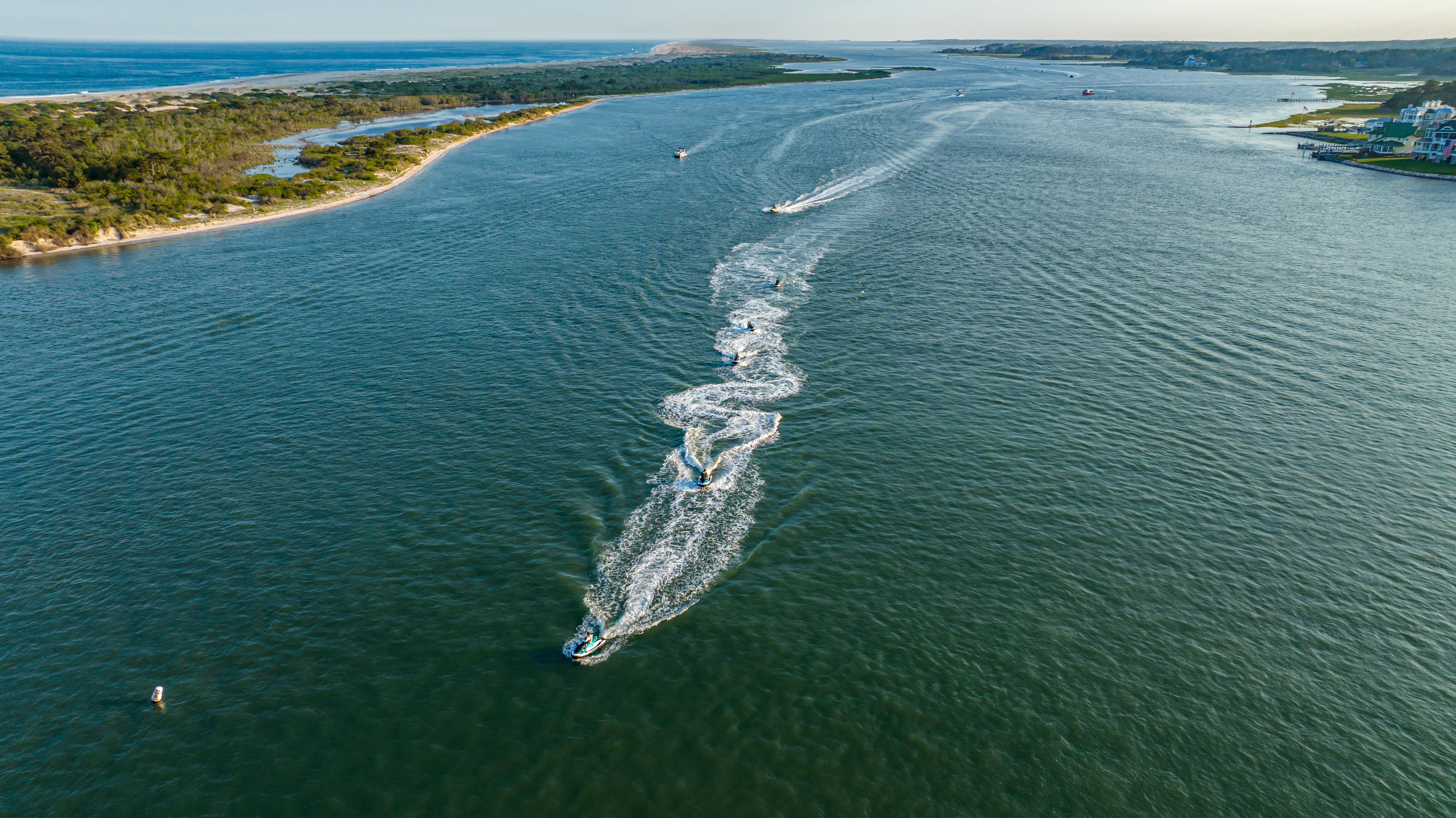
- Every stop on the 6 Mile Ride.The full southbound jet ski route to Assateague Island — landmarks, sandbars, and wild horse spotting zones.
- Every pontoon destination.Restaurants, hotspots, hidden sandbars, and bay cruising routes you can reach on a boat rental.
- Photos & videos at each pin.See the actual views before you launch. No guessing, no generic stock photos.
- Works on your phone on the water.Keep it open while you ride — it's a preview and a guide.
Launch the Map
Jump straight into a route, or launch the full map and pick your ride.
Opens full screen — tap the × to close
Now Ride It For Real
The Map Is The Preview.
The Bay Is The Real Thing.
You've seen every stop. Now ride it. Jet skis are bookable online. Pontoon boats are phone-reservation only.